Name: Queen's Arms
Address: 20 Chorley Road, Walton-le-Dale
 |
| Queen's Arms Hotel c.1900 |
Originally listed as at West Side in Walton Cop, the road was later named Chorley Road, and Queens' Arms was on the west side of the road leading to the junction with Victoria Road. It was demolished in the 1900s to make way for new development and these days is home to Fred Coupes Motor Garage.
 |
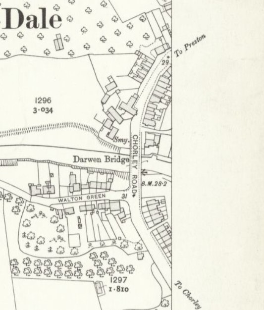
| 1844 OS Map |
The inn dates back to the 1830s and listed landlords were Richard Morris (1841-46), Thurston Wiggans (1848), Lawrence Newsham (1851-54), Thomas Smith (1855), Thomas Knowles (1856), John Ainsworth (1861-63), James Simms (1869), Thomas Turner (1864-81), Joseph Bolton (1891), Cuthbert Nickson (1895) and Michael J Reed (1901-).
 |
| 1841 Census Richard Morris |
 |
| Manchester Times - Saturday, July 11, 1846 Bankruptcy Listings |
 |
| 1848 Slaters Taverns & Public Houses Thurston Wiggans |
 |
| Preston Chronicle Saturday, Dec. 28, 1850 |
 |
| 1851 Census - Lawrence Newsham |
 |
| 1854 Mannex Directory Lawrence Newsham |
 |
| Preston Chronicle Saturday, Mar. 11, 1854 |
Lawrence Newsham moved on from the Queen's Inn in 1854, initially planning to emigrate to Australia, but later changed his plans and took over running the Craven Heifer on Commercial Road, Chorley, where he died four years later in July 1858.
 |
| c.2025 |


Great article. I'm intrigued by two things. There are buildings marked along this section of road in the earlier 18th century maps, especially Yates (NLS website), so I'm wondering if the actual construction of this large, grand building might have been a response to the passing trade opportunity presented by the creation of the Preston-wigan turnpike in the ?1720s. Maybe it wasn't a pub initially, but a fairly grand house, and that would be in keeping with the older Walton Mill site across the road, by the mill pond. Brian Lewis did a lot of research into the way 18th century mill developers liked to live 'on site' (The Mill towns and the Middlemost). Secondly, this building was clearly build on a deep foundation to bring it up to the new turnpike road level, as you can see from the older building behind it, which sits in a dip - this would have been the original height of the pre-turnpike roadscape (I just made that word up). I'd love to find out a bit more about that building, which looks like a typical substantial Jacobean farmhouse. This might be the local origin of the Walton textile mills, representing a 'fold' with the 17th-18th century farmer branching out into paying local spinners and putting out the yarn to handloom weavers. Another dimension to this little snapshot of local history !
ReplyDeleteFlickr has an interesting image that suggests the building dated back to the late 1600s >> https://www.flickr.com/photos/rpsmithbarney/11319102134
DeleteThanks Maggy. I think that's a valid observation. The Queen's Arms did not appear in the directories of 1824 and 1834 for Walton-le-Dale, so given the name, it's reasonable to assume it was named following the coronation of Queen Victoria in 1837, but the building clearly pre-dated that, so is likely to have been a farm, as many farmers diversified their business running beer houses from their home in the early-mid 1830s.
ReplyDelete